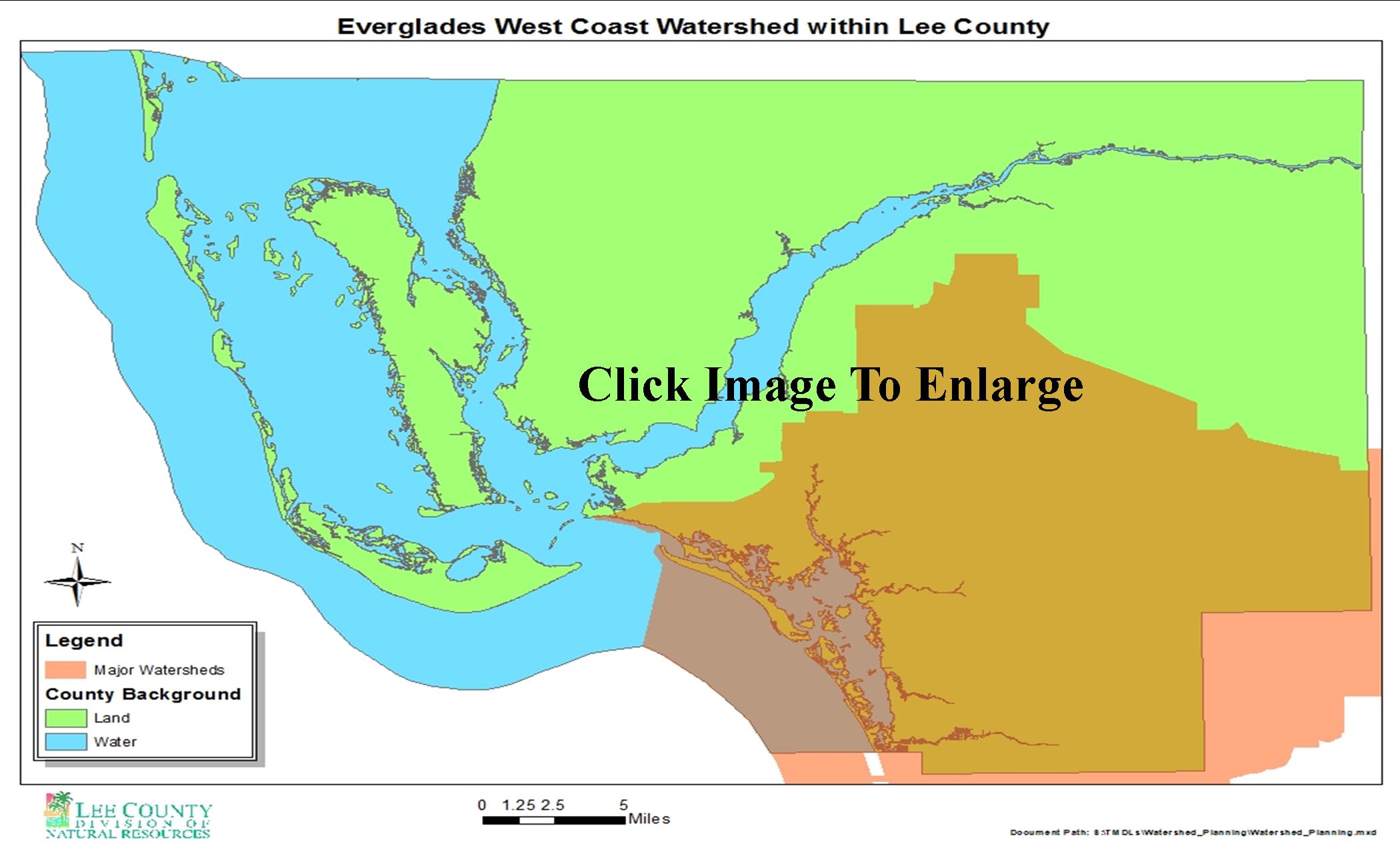
 Estero Bay, also referred to as the Everglades West Coast Watershed, is a shallow, subtropical lagoon (11,317 acres) separated from the Gulf by barrier islands. Seagrass beds are common in the bay, but high turbidity restricts seagrasses to shallow depths. The Estero and Imperial rivers and the Spring, Mullock, and Hendry creeks, although small, are the major tributaries in this area. The Estero Bay Basin was, and in many areas still is, typical of low, flat, southern Florida lands dominated by wetlands and characterized by slow, sheet-flow drainage patterns. In the past, the naturally dispersed water patterns distributed nutrients over broad areas of wetland vegetation. Seasonal fluctuations in flow from rainfall created the necessary salinity regime in Estero Bay for good estuarine productivity. Increasing development in the 1960s led to changes in the natural river systems around Estero Bay, altering freshwater inflow patterns.
This information provided courtesy of the Florida Department of Environmental Protection (FDEP) and the South Florida Water Management District (SFWMD). For more information about the physiographic and geographic history and current conditions of Lee County's watersheds, view FDEP's Basin Status Reports.