The Caloosahatchee River Basin, which rises less than 15 feet in elevation through Lee, Hendry, and Glades counties, follows the river from Lake Okeechobee to San Carlos Bay. Historically, the Caloosahatchee River originated as overland flow from Lake Okeechobee through marshlands and swamp forest (CHNEP, 2000a). The modern Caloosahatchee River (C-43) is a channelized flood control and navigational waterway, maintained by the U.S. Army Corps of Engineers (USACOE) as part of the Okeechobee Waterway, which links the Gulf of Mexico to the Atlantic Ocean via Lake Okeechobee and the Lucie Canal and River. Three lock and spillway structures control the river from Lake Okeechobee to San Carlos Bay. The Moore Haven Lock and Spillway (S-77), on the western shore of Lake Okeechobee, regulates lake waters and lowers the water from 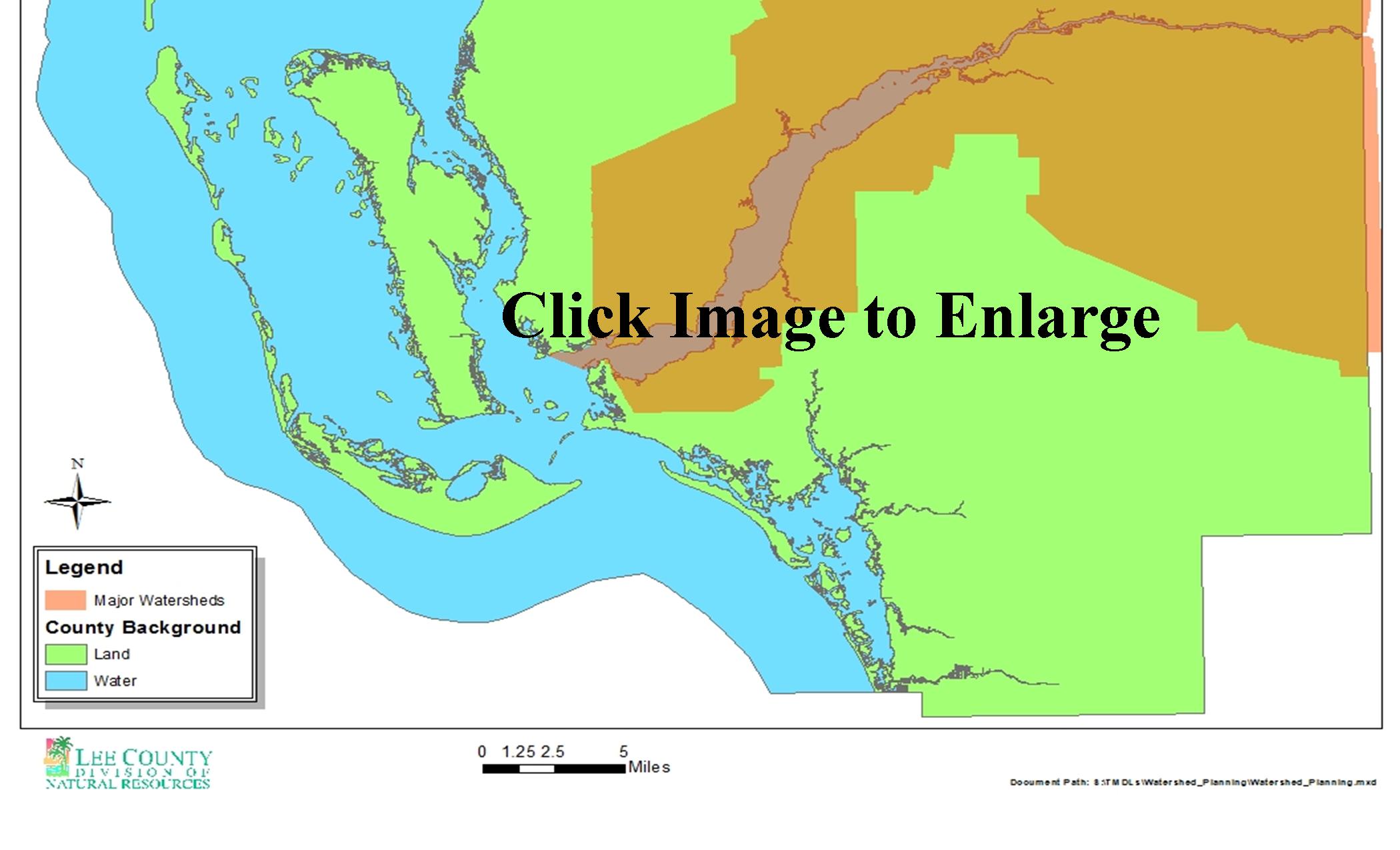 Lake Okeechobee down to 11 feet NGVD (National Geodetic Vertical Datum). The Ortona Lock and Spillway (S-78) helps to control water levels on adjacent lands upstream, lowers the water downstream to 3 feet NGVD, and separates the C-43 into eastern and western basins. The Franklin Lock and Dam, near Olga in Lee County, artificially separates the fresh water of the Caloosahatchee River from the salt water of the estuary. It lowers the water level to 1 foot NGVD, regulates freshwater discharge into the estuary, and acts as an impediment to saltwater intrusion upriver. It also marks the beginning of the 30-mile tidal basin of the Caloosahatchee River, which starts at the lock and continues to the Gulf of Mexico (Capece et al., 1997; SFWMD, 2000a).